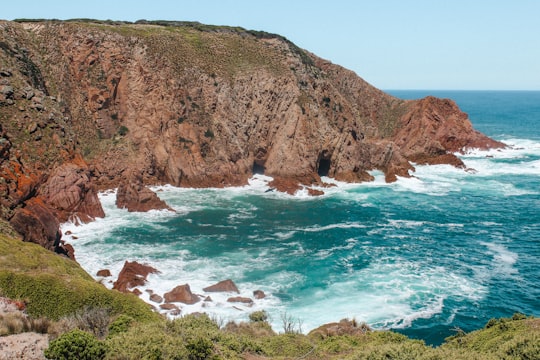
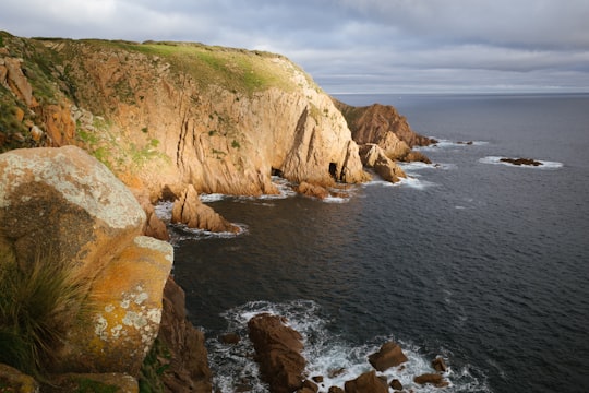
Travel Guide of Cape Woolamai, Victoria in Australia by Influencers and Travelers
Cape Woolamai is a town and headland at the south eastern tip of Phillip Island in Victoria, Australia. It is home to Cape Woolamai State Faunal Reserve and the Phillip Island Airport. Cape Woolamai contains a subdivision also called Cape Woolamai.
Download the Travel Map of Australia on Google Maps here
The Best Things to Do and Visit in Cape Woolamai, Victoria
TRAVELERS TOP 10 :
- Phillip Island
- Kilcunda VIC
- Dolphin Watching in Phillip Island
- Churchill Island
- Smiths Beach
- Helicopter Tours in Phillip Island
- Phillip Island Road
- Nobbies Centre
- Sightseeing Cruises in Phillip Island
- Flinders VIC
1 - Phillip Island
10 km away
Phillip Island is an Australian island about 125 km south-southeast of Melbourne, Victoria. The island is named after Governor Arthur Phillip, the first Governor of New South Wales, by explorer and seaman George Bass, who sailed in an open whale boat, arriving from Sydney on 5 January 1798.
Learn more Book this experience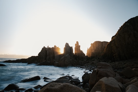

2 - Kilcunda VIC
10 km away
Kilcunda is a seaside town located 117 kilometres south east of Melbourne between Phillip Island and Wonthaggi near Dalyston via the South Gippsland Highway on the Bass Highway, in the Bass Coast Shire of Gippsland, Victoria, Australia.
Learn more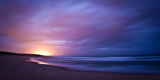
3 - Dolphin Watching in Phillip Island
16 km away
See thousands of Australian fur seals in their natural habitat during a 2-hour wildlife cruise from Phillip Island. Journey on a comfortable catamaran with indoor and outdoor viewing decks to Seal Rocks, home to the largest colony of fur seals in Australia. En route, look for dolphins, whales, penguins and seabirds while your onboard guide provides informative commentary about the wildlife and history of Phillip Island and the Mornington Peninsula. Includes complimentary afternoon tea with light snacks and coffee or tea.
Book this experience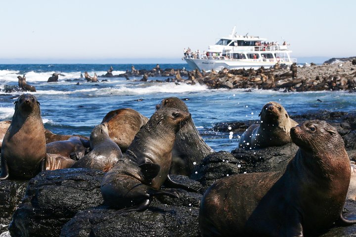
4 - Churchill Island
Churchill Island is a 50.7-hectare island in Western Port, Victoria, Australia. It is connected by a bridge to Phillip Island, which is in turn connected to the mainland by another bridge. It is the site of the first European garden in Victoria.
View on Google Maps Book this experience
5 - Smiths Beach
11 km away
Smiths Beach is a small town on Phillip Island in Victoria, Australia. It is located on Back Beach Road, on the shores of Smiths Beach. It is home to a short-tailed shearwater colony.
Learn more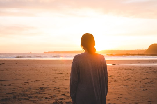
6 - Helicopter Tours in Phillip Island
16 km away
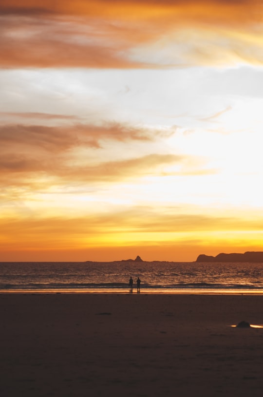
See magnificent Phillip Island from the air on a Phillip Island Helicopter Tour. Fly in comfort aboard a modern helicopter for amazing aerial views of Australia's most varied coastline. See Cape Woolamai, Seal Rocks, the Australian Grand Prix track, Summerland Bay, home of the Phillip Island Penguin Parade and miles of gorgeous coastline. There are seven flights options to choose from, all with unprecedented views of Phillip Island’s spectacular scenery. Highlights can include the world famous Phillip Island Penguin Parade, the Phillip Island Grand Prix Circuit, Seal Rocks, Cape Woolamai, Cowes and some amazing surf beaches.
Book this experience
7 - Phillip Island Road
16 km away
Learn more
8 - Nobbies Centre
19 km away
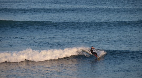
The Nobbies Centre is an ecotourism destination located at Point Grant, on the western tip of Phillip Island, Victoria, Australia.
Learn more Book this experience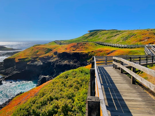

9 - Sightseeing Cruises in Phillip Island
16 km away
Set out on a sunset cruise from Phillip Island that takes in sights along Western Port Bay near the Mornington Peninsula. Your captain provides light commentary as you pass landmarks such as French Island and Stony Point, but the spectacular scenery speaks for itself. Dolphins and Australian fur seals are frequently spotted in these waters, along with seabirds such as the short-tailed shearwater. Snack on complimentary hot and cold appetizers served during the cruise; drinks are available for purchase from the full bar.
Book this experience
10 - Flinders VIC
31 km away
The Division of Flinders is an Australian Electoral Division in Victoria. The division is one of the original 65 divisions contested at the first federal election.
Learn more Book this experience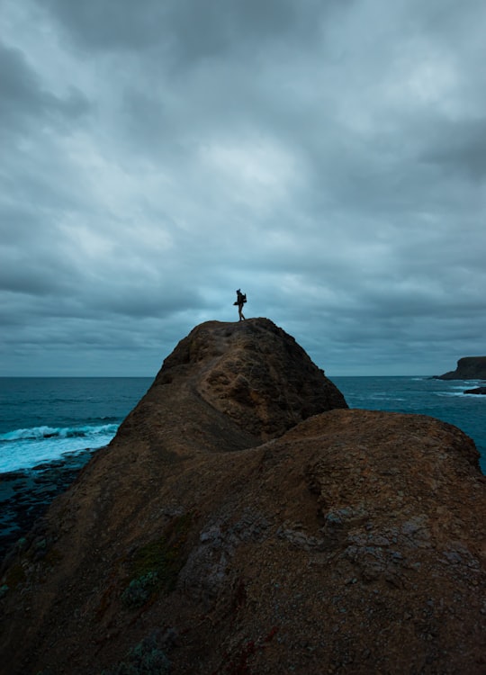
11 - Moonlit Sanctuary
40 km away
Moonlit Sanctuary Wildlife Conservation Park is a 25-acre biopark within the Pearcedale Conservation Park located at Pearcedale on the Mornington Peninsula near Melbourne, Australia.
Learn more Book this experience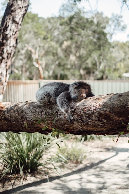
12 - Cape Schanck VIC
41 km away
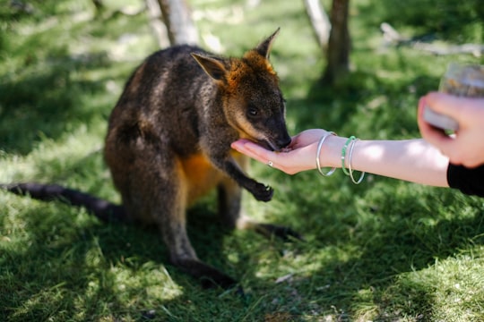
Cape Schanck is a locality in the Australian state of Victoria. It is the southernmost tip of the Mornington Peninsula and separates the wild ocean waters of Bass Strait from the slightly calmer waters of Western Port.
Learn more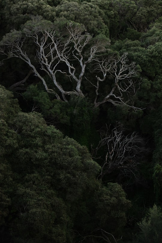
13 - Venus Bay
41 km away
Venus Bay is a wide bay and a township on that bay on the east coast of Victoria, Australia. At the 2016 census Venus Bay had a population of 944. The name Venus Bay was given to the bay by a French expedition under Nicholas Baudin. This was apparently after George Bass's trading ship the Venus. The town of Venus Bay is situated on a narrow peninsula of land located 180 km south-east of Melbourne. Originally named Evergreen the town takes its name from the body of water on its western shore. On the eastern side of the peninsula is Anderson's Inlet, named after the settler Samuel Anderson.
Learn more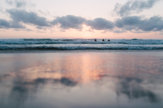
14 - Safety Beach VIC
42 km away
Safety Beach is a seaside town in Metropolitan Melbourne on the Mornington Peninsula, Victoria, Australia. Its local government area is the Shire of Mornington Peninsula. At the 2016 census, Safety Beach had a population of 4,821.
Learn more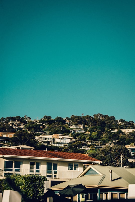
15 - Arthurs Seat VIC
42 km away
Arthurs Seat is a mountainous and small locality on the Mornington Peninsula, within the Shire of Mornington Peninsula, about 85 km south east of Melbourne, Australia, noted for its exclusivity and the general affluence of the demographics which make up the enclave.
Learn more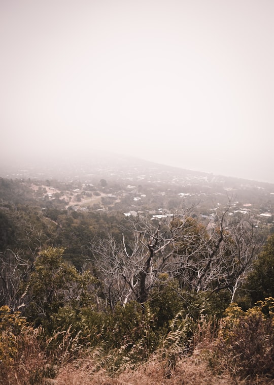
16 - Rosebud VIC
45 km away
Rosebud is a seaside town in Metropolitan Melbourne on the Mornington Peninsula, Victoria, Australia approximately 75 km South of Melbourne’s central business district.
Learn more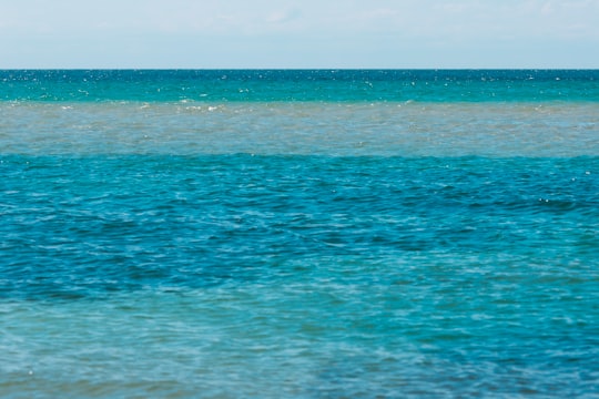
Disover the best Instagram Spots around Cape Woolamai, Victoria here
Book Tours and Activities in Cape Woolamai, Victoria
Discover the best tours and activities around Cape Woolamai, Victoria, Australia and book your travel experience today with our booking partners
Pictures and Stories of Cape Woolamai, Victoria from Influencers
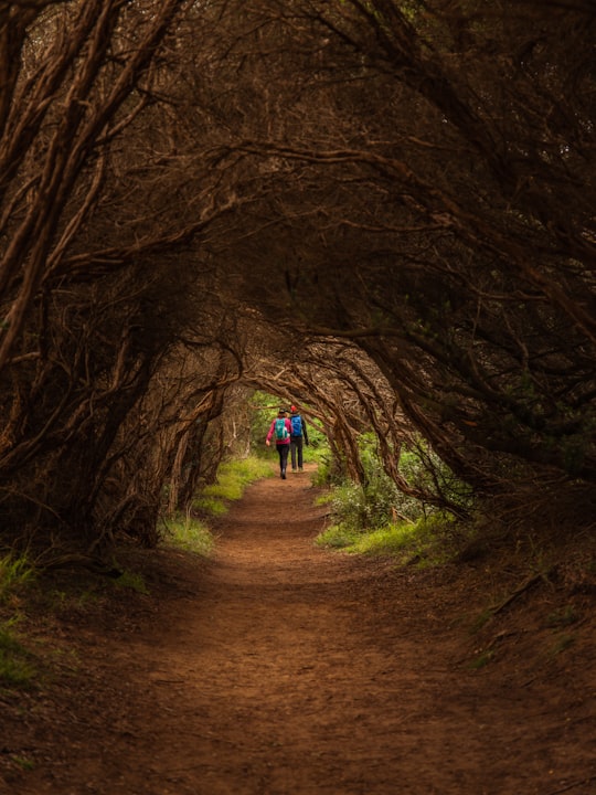
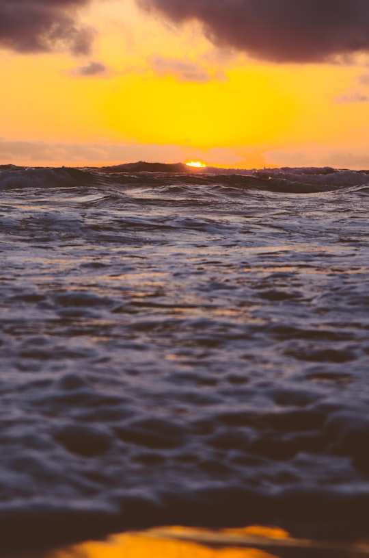
2 pictures of Cape Woolamai, Victoria from Chelsea Chehade, Jesse Dodds, and other travelers
Plan your trip in Cape Woolamai, Victoria with AI 🤖 🗺
Roadtrips.ai is a AI powered trip planner that you can use to generate a customized trip itinerary for any destination in Australia in just one clickJust write your activities preferences, budget and number of days travelling and our artificial intelligence will do the rest for you
👉 Use the AI Trip Planner
Why should you visit Cape Woolamai, Victoria ?
Travel to Cape Woolamai, Victoria if you like:
🏖️ Beach 🐾 Wildlife 🌲 Ecoregion 🏖️ Ocean 🌲 Forest 🏖️ CoastWhere to Stay in Cape Woolamai, Victoria
Discover the best hotels around Cape Woolamai, Victoria, Australia and book your stay today with our booking partner booking.com
More Travel spots to explore around Cape Woolamai, Victoria
Click on the pictures to learn more about the places and to get directions
Discover more travel spots to explore around Cape Woolamai, Victoria
Travel map of Cape Woolamai, Victoria
Explore popular touristic places around Cape Woolamai, Victoria
Download On Google Maps 🗺️📲
